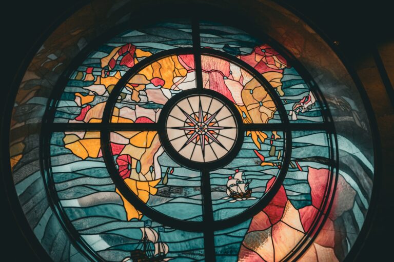
Humanity’s last island discoveries
The story of human island colonization culminates in a series of remarkable discoveries that pushed the boundaries of navigation, technology, and human endurance. While early humans spread across continents and nearby islands with relative ease, the last island discoveries required sophisticated maritime technology, precise navigation, and often, sheer luck.
These last discoveries reveal how geographical isolation, technological limitations, and environmental extremes delayed human settlement of some of Earth’s most remote landmasses until surprisingly recent times.
The Polynesian Triangle: mastering the Pacific
The Polynesian Triangle is a vast region of the Pacific Ocean defined by three island groups at its corners: Hawaii, Easter Island, and New Zealand. Because of the immense size of the Pacific, this region was among the last areas of the world to be discovered.
New Zealand: the edge of the Polynesian World
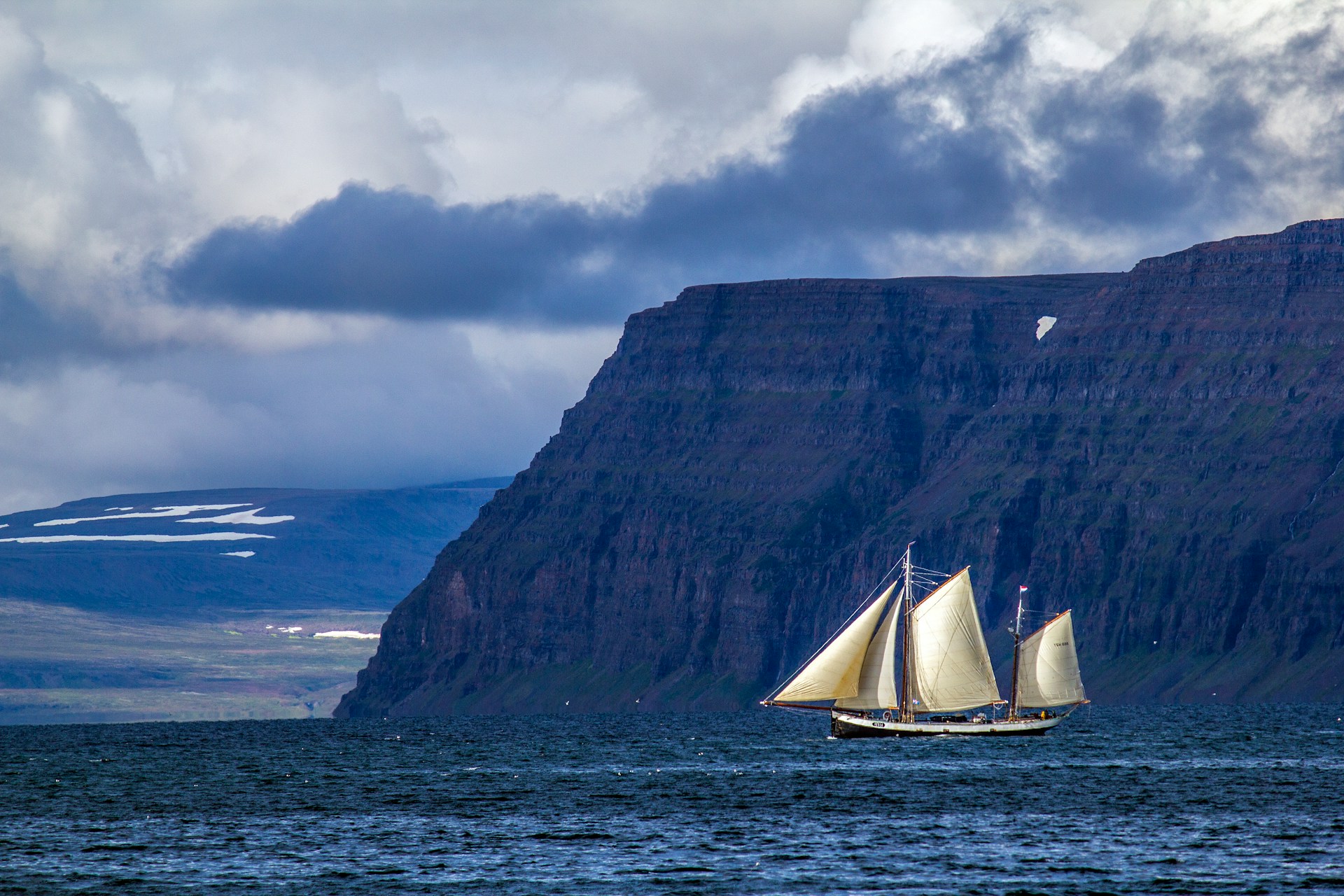
The discovery of New Zealand represents the southwestern corner of the Polynesian Triangle. Achieved by Austronesian navigators around the 13th century CE. These voyagers, ancestors of the Māori people, embarked from tropical Pacific islands in double-hulled canoes called waka, covering distances that would challenge modern sailors. Their navigation system relied on an intricate understanding of celestial patterns, ocean swells, wind directions, and wildlife behavior. Unlike European compass-based navigation, Polynesian wayfinding integrated environmental observations passed down through oral tradition, often encoded in songs and chants.
The settlement of New Zealand took remarkably long. Approximately 3,000 years after Polynesians began their eastward expansion from Southeast Asia. The delay stemmed from several factors: the 1,800 miles distance from established Polynesian bases and the need to sail against prevailing westerlies. The Roaring Forties winds that aided southern navigation also created treacherous conditions, requiring canoes capable of withstanding heavy seas.
Hawaii: The Most Remote Archipelago
Hawaii’s discovery around 1000-1200 CE by Polynesians from the Marquesas Islands stands as perhaps humanity’s greatest navigational achievement. Located over 2,000 miles from the nearest inhabited land, the Hawaiian archipelago represents the most isolated population center on Earth. The voyagers used double-hulled sailing canoes that could carry 50-100 people plus crops and livestock, effectively serving as “transportable ecosystems”.
The settlement required not just discovery but intentional colonization. Archaeological evidence suggests these were planned expeditions, not accidental drift voyages. Settlers brought taro, bananas, sugarcane, chickens, and pigs, indicating they intended to establish permanent communities. The 600-year gap between initial settlement and the arrival of Tahitian voyagers around 1000 CE suggests that once the archipelago’s location was known, regular two-way voyaging ceased. Leaving Hawaiians in isolation to develop their unique culture.

Easter Island: the mysterious Moai builders
Easter Island’s settlement around 1200 CE coincided with the Hawaiian discovery, suggesting a period of intense Polynesian exploration. Located 1,200 miles from the nearest inhabited island (Pitcairn), Easter Island’s discovery required navigators to locate a target just 63 square miles across in an ocean spanning 64 million square miles.
The island’s extreme isolation made it a “mystery wrapped in enigma”, when Dutch explorer Jacob Roggeveen arrived in 1722. He found a deforested landscape with massive stone statues (moai) and a population that had collapsed from environmental degradation.
The Polynesian settlers arrived with crops and domestic animals, suggesting planned colonization rather than accidental discovery. However, the island’s fragile ecosystem couldn’t sustain the population, leading to deforestation, soil erosion, and eventual societal collapse. The discovery took so long because Easter Island sits at the absolute limit of Polynesian voyaging range. Requiring perfect navigation to locate and reach. The island’s small size and position outside normal trade wind routes made it nearly invisible to systematic exploration.
Madagascar: the Indian Ocean crossing
Madagascar’s settlement presents one of prehistory’s greatest puzzles. Genetic and linguistic evidence confirms that Austronesian peoples from Borneo reached the island between 700-1200 CE, having crossed 2,500 miles of open Indian Ocean. This represents the single longest open-ocean voyage in human history until the Age of Discovery.
Recent archaeological evidence reveals the settlers brought Asian crops: rice, mung beans, and cotton. Providing the first material proof of their Southeast Asian origin. The settlement appears to have involved an extremely small founding population, possibly as few as 30 women. Indicating either a planned but minimal colonization effort or an accidental voyage that succeeded against all odds.
Unlike the Pacific’s predictable trade winds, the Indian Ocean has complex monsoon patterns and equatorial currents that hinder east-west travel. The voyage required ships capable of surviving months at sea and navigators who could maintain course without land references.
Additionally, Africa’s proximity made Madagascar psychologically “invisible”. Explorers from the mainland lacked the maritime technology to reach it. While Southeast Asian sailors had no reason to suspect a massive island existed so far west.
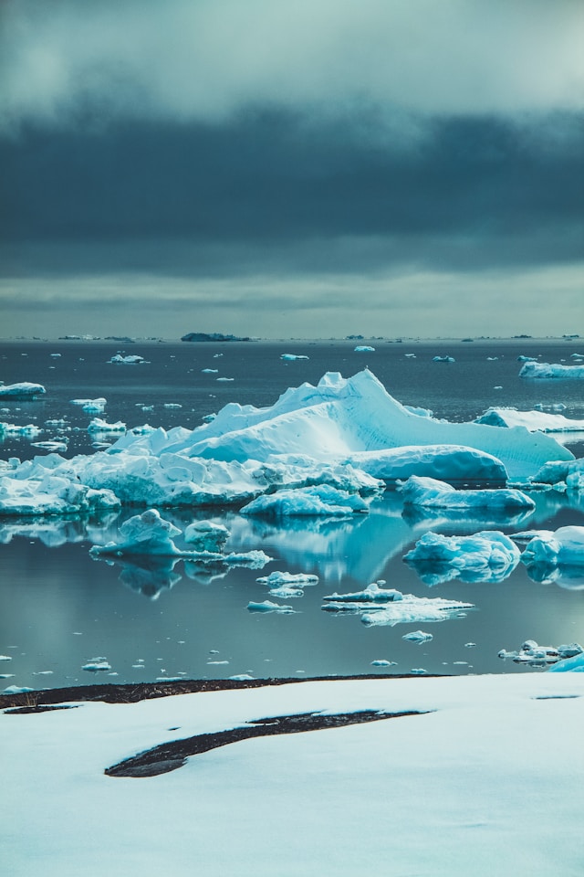
Severnaya Zemlya: the last Arctic landmass
Severnaya Zemlya holds the distinction of being the last sizeable archipelago on Earth to be discovered and mapped, found in 1913 during a Russian Arctic hydrographic expedition. The 37,000-square-kilometer archipelago lies off Siberia’s Taymyr Peninsula, separated from the mainland by the Vilkitsky Strait. Its discovery required icebreaking steamships specifically built for Arctic exploration.
The archipelago remained hidden for so long due to the permanent Arctic ice pack that connected it to the mainland, making it indistinguishable from the Eurasian coast. Even when explorers sailed close the ice concealment prevented recognition. Only with steam-powered icebreakers could explorers penetrate the Kara Sea’s ice-choked waters and map the archipelago accurately between 1930-1932.
The discovery represented the final chapter in the Age of Discovery, occurring simultaneously with Amundsen’s South Pole expedition. It required not just ships, but systematic aerial surveys, dog sledge parties, and wintering-over capabilities that 19th-century explorers lacked. The archipelago’s extreme climate, with temperatures dropping below -50°C and polar darkness lasting months, made discovery and mapping a 20th-century achievement.
Bouvet Island: the world’s most remote island
Bouvet Island’s discovery on January 1, 1739, by French navigator Jean-Baptiste Charles Bouvet de Lozier. Located 1,000 miles from the nearest uninhabited land and 1,500 miles from the Cape of Good Hope, the 19-square-mile island is shrouded in perpetual fog and ice. Bouvet misrecorded its coordinates, and the island wasn’t reliably relocated until 1808, then accurately charted only in 1898.
The island’s isolation is so extreme that it makes the International Space Station seem accessible. Reaching Bouvet requires specialized ice-strengthened vessels and perfect weather windows. The Norwegian annexation in 1928 recognized its value only for meteorological stations and wildlife protection. No permanent human settlement exists; even temporary scientific parties struggle to land.
Bouvet remained undiscovered until the 18th century because it lies outside all major shipping routes. The Southern Ocean’s fierce storms, pack ice, and fog banks conceal the island, while its lack of resources made it unworthy of systematic search. Only the global expansion of whaling and sealing in the 18th century brought ships into these hostile waters, making discovery inevitable but accidental.
Why these discoveries took so long
The delayed discovery of these islands reveals common constraints on human exploration.
- Geographical isolation created the primary barrier, each island required crossing hundreds or thousands of miles of open ocean without intermediate stepping stones.
- Technological limitations meant that until the development of double-hulled canoes (Polynesia), icebreakers (Arctic), or accurate chronometers (subantarctic), systematic discovery was impossible.
- Environmental extremes posed additional challenges. New Zealand’s temperate climate, Hawaii’s remote location, Easter Island’s ecological fragility, Madagascar’s oceanic currents, Severnaya Zemlya’s ice, and Bouvet’s polar conditions each demanded specialized adaptations.
Most importantly, these discoveries required cumulative knowledge. Polynesian navigation developed over 3,000 years of incremental island-hopping before reaching its zenith. Arctic exploration needed centuries of shipbuilding advances. The Indian Ocean crossing required integration of Southeast Asian and East African maritime traditions. Each discovery built upon previous achievements, making the last discoveries technological culminations.
The final island discoveries thus mark humanity’s transition from regional explorers to global surveyors, from accidental castaways to systematic colonizers. They represent the outer limits of what human societies could achieve before the satellite age, when Earth’s last hidden places finally yielded their secrets to determined, technologically-equipped explorers.